Home / Recent photos 19

 Crosthwaite Cemetery
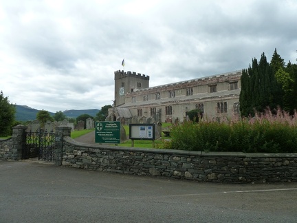 Crosthwaite Church
 Church Lane
 Church Yard Gate
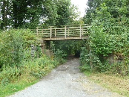 Church Lane
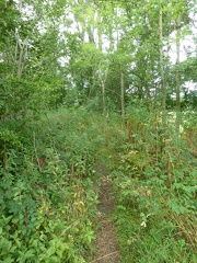 Off the A66
 The View from the End
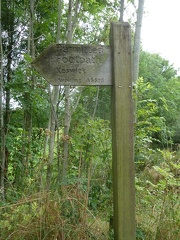 To Kewsick
 The End of the Road?
 Nearing the End
 West of the Church
 Church Lane Bridge
 Towards Crosthwaite Church
 A View of the A66
 Old Occupation Bridge